

Description
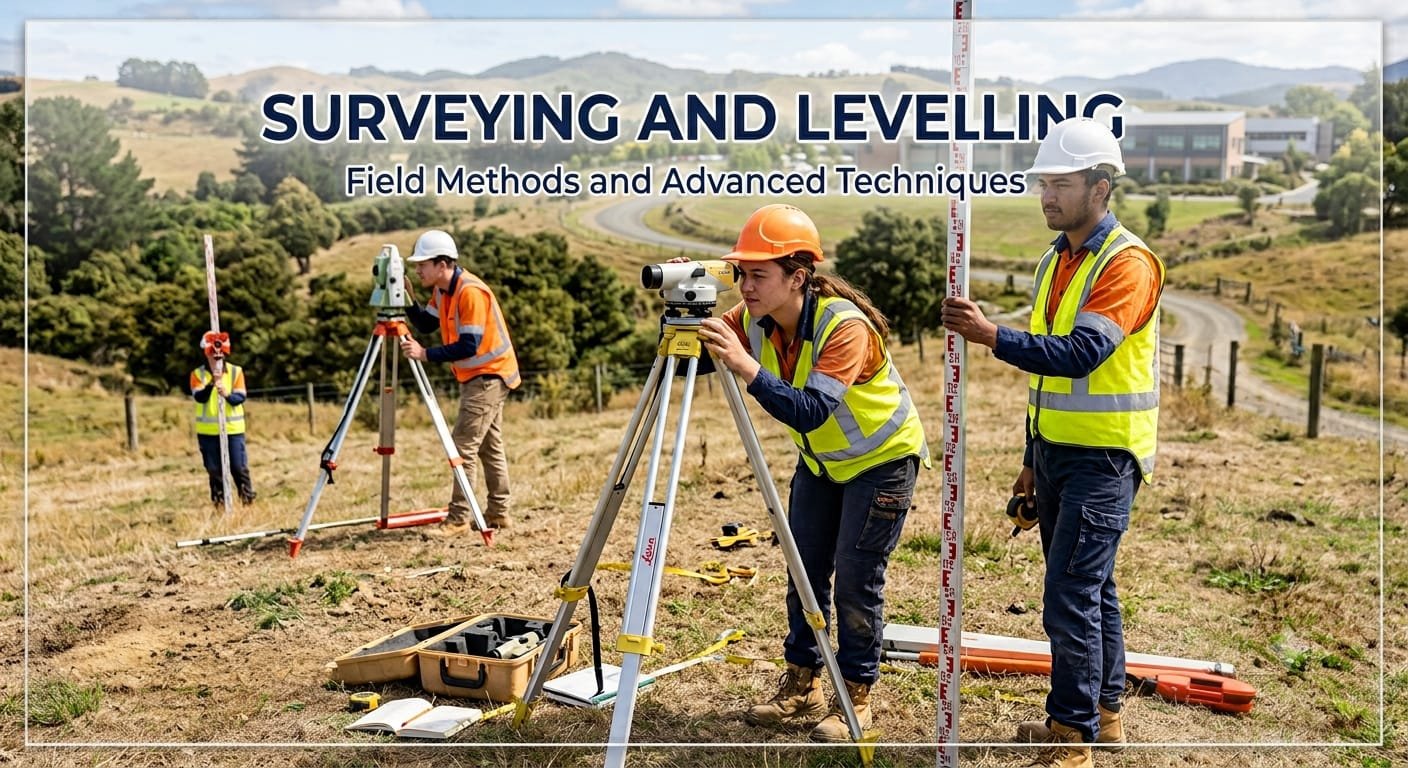
Techniques like trigonometry, geometry, and specialized instruments like total stations and levels are used to establish control points, measure horizontal distances, and determine height differences between points. The gathered data is used to create detailed topographic maps, set out construction projects with high accuracy, and ensure that structures are built in their intended locations and at the proper elevations. Engineering surveying and leveling are crucial for safe and efficient engineering projects, from building foundations to infrastructure development.




Reviews
There are no reviews yet.